UN
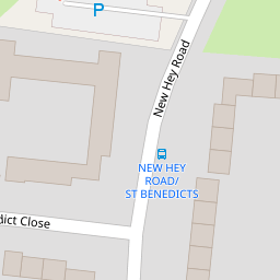
369 New Hey Road
£ 34,291
Description
We don't have a Description for this property.
- Bedrooms
- 3
- Bathrooms
- 0


Leaflet © OpenStreetMap contributors
The heatmap indicates the level of crime in the area. The color of the heatmap indicates the crime severity and recency.
Metrics Year-on-Year
- Average area value
- 345,036.00 £Increased by 6.33 %
- Average area rental value
- 1,508.00 £/moIncreased by 6.72 %
- Est rental Yield
- 5.24 %Increased by 0.19 %
- Crime Rate
- 11.00 %Unchanged by 0.00 %
from 324,484.00 £
from 1,413.00 £/mo
from 5.23 %
from 11.00 %
Nearby Schools
| Name | Type | Ofsted | Distance |
|---|---|---|---|
| Gilbrook School | Community Special School | Outstanding | 0.49 KM |
| Meadowside School | Community Special School | Requires improvement | 0.77 KM |
| Ganneys Meadow Nursery School And Family Centre | Local Authority Nursery School | Outstanding | 0.85 KM |
| Ganneys Meadow Early Years Centre | Children's Centre Linked Site | 0.85 KM | |
| Fender Primary School | Community School | Requires improvement | 0.85 KM |
Images
Nearby Streets
| Name | Average Price | Average Sqft | Distance |
|---|---|---|---|
| The Paddock | £ 0 | 0 | 0.00 KM |
| Coniston Avenue | £ 180,000 | 0 | 0.00 KM |
| Beeston Close | £ 0 | 0 | 0.00 KM |
| Church Lane | £ 150,000 | 0 | 0.00 KM |
| Warren Drive | £ 0 | 0 | 0.00 KM |
Nearby Transport
| Name | NLC | TLC | Distance |
|---|---|---|---|
| Upton (Merseyside) | 2141 | UPT | 0.82 KM |
| Leasowe | 2237 | LSW | 3.25 KM |
| Bidston | 2136 | BID | 3.35 KM |
| Moreton (Merseyside) | 2151 | MRT | 4.00 KM |
| Birkenhead North | 2145 | BKN | 4.36 KM |
Nearby Listings
| Address | Price | Type | Score | Distance |
|---|---|---|---|---|
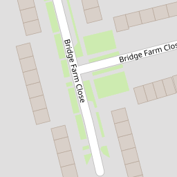
| Bridge Farm Close, Woodchurch, Wirral, CH49 | £ 155,000 | BUY | 6 / 10 | 0.15 KM |
| Myrtle Way, Woodchurch, Wirral, CH49 | £ 150,000 | BUY | 6 / 10 | 0.18 KM |
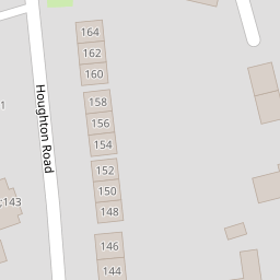
| Houghton Road, Woodchurch, Wirral | £ 145,000 | BUY | 6 / 10 | 0.20 KM |
| Hoole Road, Wirral | £ 160,000 | BUY | Unknown | 0.25 KM |
| New Hey Road, Wirral | £ 155,000 | BUY | Unknown | 0.30 KM |
Nearby Properties
| Address | Price | Distance |
|---|---|---|
| 369 New Hey Road | £ 34,291 | 0.00 KM |
| 329 New Hey Road | £ 87,000 | 0.00 KM |
| 349 New Hey Road | £ 141,500 | 0.00 KM |
| 325 New Hey Road | £ 97,000 | 0.00 KM |
| 452 New Hey Road | £ 82,000 | 0.10 KM |